This video demonstrates how Prairie Hawk Aerial Recon conducts a modern aerial deer census using advanced drone-mounted thermal and visual sensors.
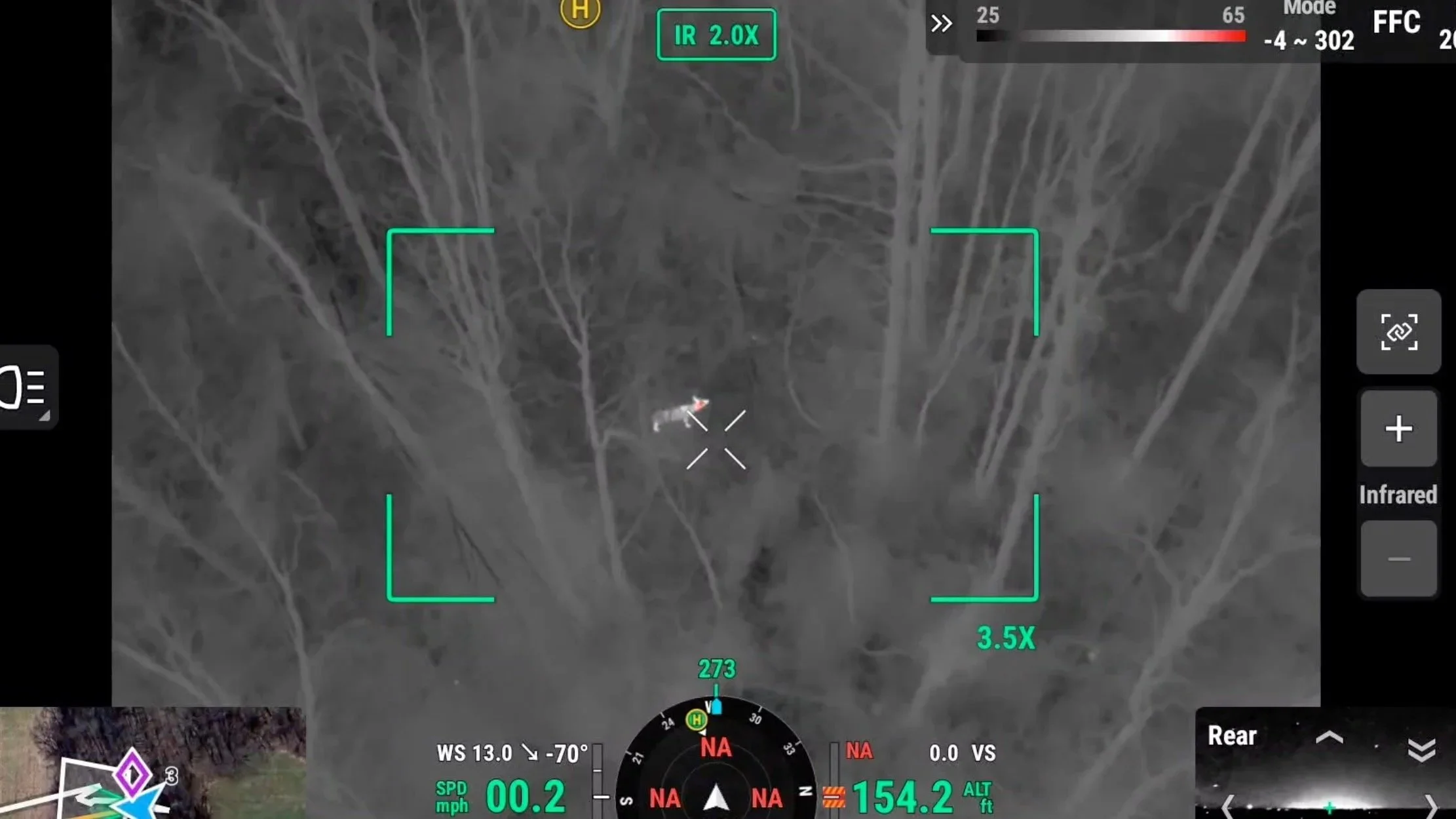
By flying during optimal low-light conditions, we’re able to detect, verify, and document deer across timber, crop edges, CRP, and thick cover—areas that are difficult or impossible to evaluate accurately from the ground. Thermal imagery allows rapid detection, while the visual camera provides terrain and habitat context to explain how deer are using the property.
Each deer observed during the flight is confirmed and georeferenced to ensure accurate counts and eliminate double-counting. The result is more than just a total number—it’s actionable insight into deer distribution, movement corridors, and concentration areas that hunters and landowners can use for informed management decisions.
If you’re serious about understanding your herd and managing your property with confidence, schedule a free consultation to determine which deer census package is right for you.
Prairie Hawk Aerial Recon — Intelligence. Not just imagery.