Accurate mapping starts with disciplined planning, precise data collection, and professional processing—not guesswork.
In this video, we walk through our complete aerial mapping workflow, from mission planning and automated flight execution to photogrammetry processing and final deliverables. You’ll see how carefully designed flight routes ensure consistent coverage and how high-resolution, geotagged imagery is captured in flight to form a reliable foundation for analysis.
When required, RTK positioning is used to achieve centimeter-level accuracy by correcting GPS data in real time. This added precision improves spatial confidence and reduces reliance on ground control, making it ideal for mapping, measurement, and documentation applications.
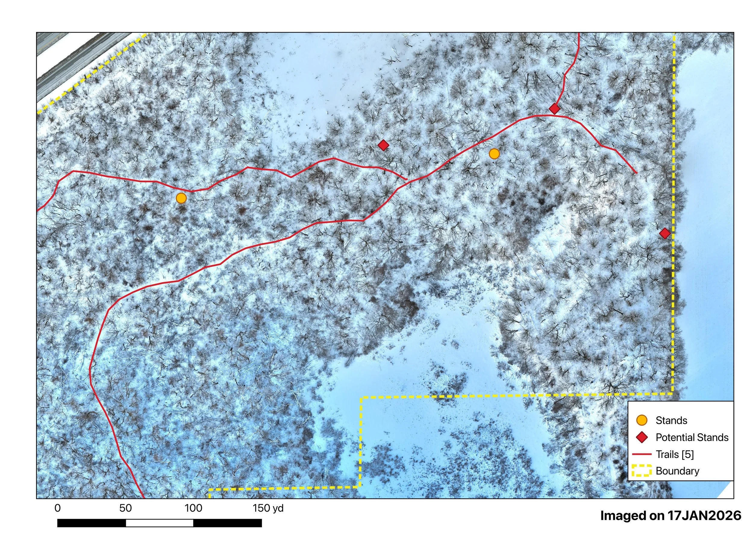
Post-flight, imagery is processed using professional photogrammetry software to generate clean 2D orthomosaic maps and detailed 3D models. These outputs aren’t just visuals—they’re practical tools designed for planning, measurement, and decision-making across construction, agriculture, forestry, land management, and development projects.
Every project is delivered with accuracy, clarity, and real-world usability in mind.
If you’re looking for reliable aerial mapping and professional-grade deliverables, we invite you to schedule a free consultation to discuss your project needs and determine the right mapping solution.